Our History
Our two unique and historically significant neighbourhoods
Hastings Sunrise
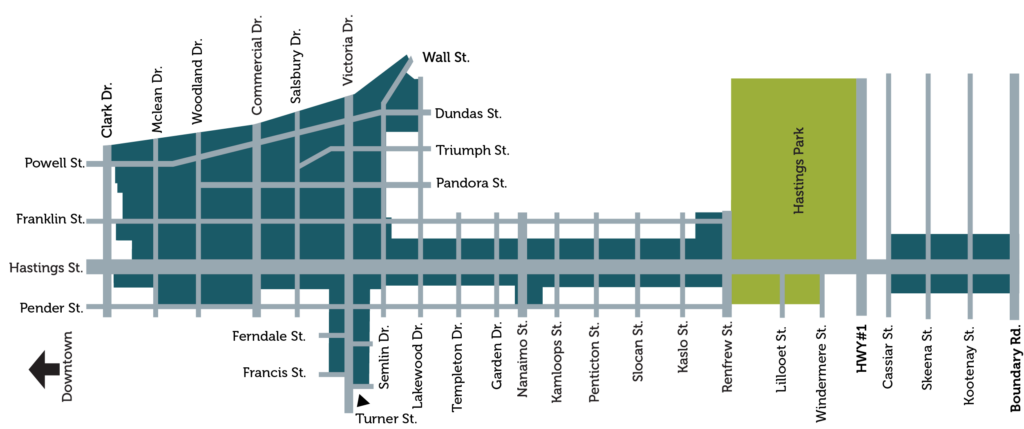
East of Nanaimo St.
Hastings-Sunrise sits on Vancouver’s original city border: Nanaimo St.
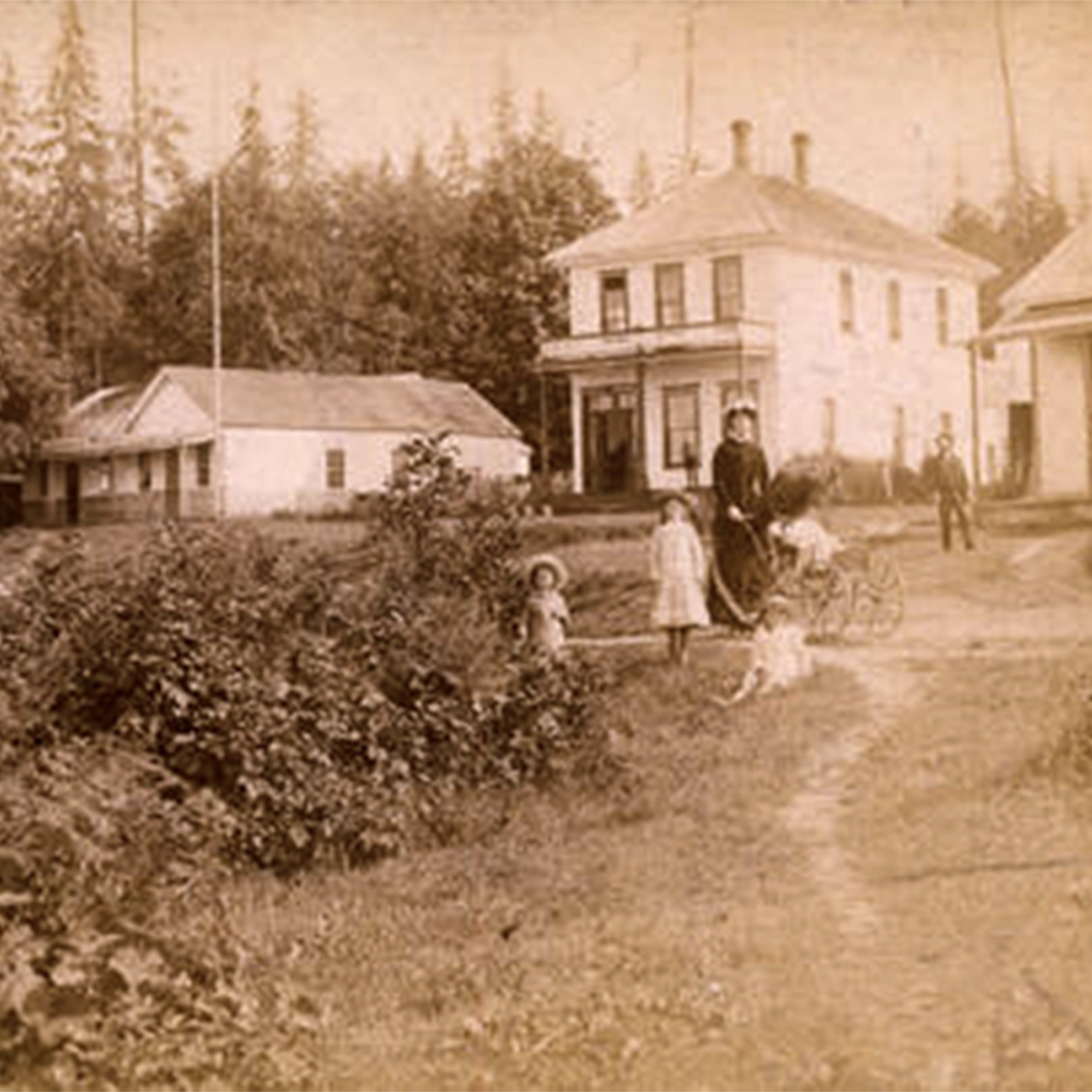
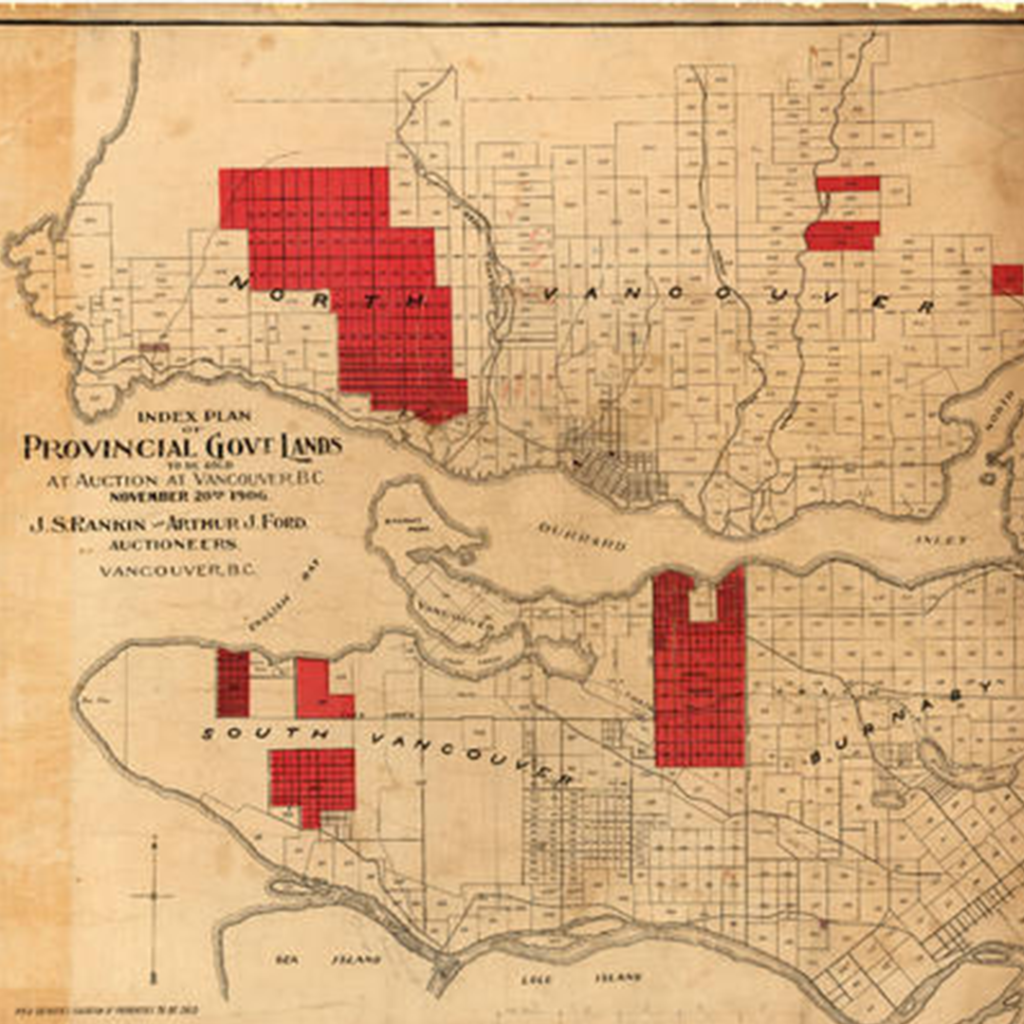
In 1863, the provincial government envisioned a developing town on the shores of a lovely West Coast harbour; they set aside a reserve of land where they would build their future city. Vancouver eventually grew out of Gastown just a few miles west, but the government’s reserve land did produce the popular beachfront resort of New Brighton.
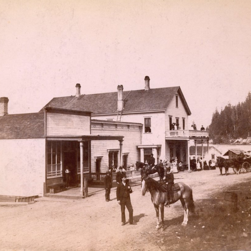
This weekend retreat, close to where New Brighton Park is now, was a favourite with loggers, mill workers and vacationers from New Westminster. In 1869, the settlement was named Hastings Townsite in honor of visiting Admiral G.F. Hastings and it remained a leisure destination through the turn-of-the-century with visitors enjoying the hotel and racetrack in Hastings Park. As the area grew, it claimed many significant first achievements such as being the home to Vancouver’s first road, first wharf, first hotel, first post office, first real estate transaction, first museum and the first ferry between the Burrard Inlet and Victoria.
By 1910, with input from local residents, a trade show featuring dairy farmers, logging and horticultural demonstrations was born and still continues successfully today as the Pacific National Exhibition. Hastings Townsite joined the City of Vancouver in 1911 and by the 1920’s was developed for residential use. In the decades following WWII, the area continued to grow, adopting the name Hastings-Sunrise, after a popular residential development near 1st Ave and Renfrew.
Hastings-Sunrise has evolved into a warm, vibrant community rich in diversity and history. Its residents value the area’s distinct single family neighbourhoods, views of the mountains and Burrard Inlet, and convenient shopping areas. The area’s community centres and neighbourhood houses are heavily used and its parks and open spaces are considered key assets. The community’s long tradition of grassroots involvement in local issues continues today with active neighbourhood groups, community schools, business improvement association, and community policing office.
Grandview-Woodland
West of Nanaimo St.
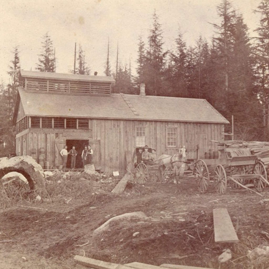
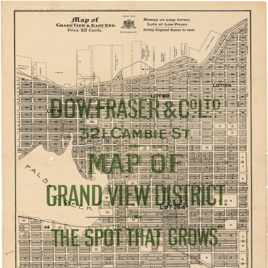
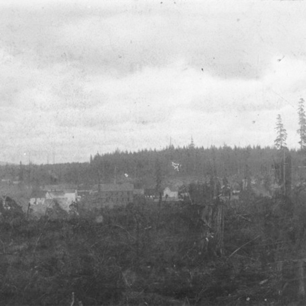
Between Clark Drive and Nanaimo Street lies historic Grandview-Woodland, home to some of the city’s earliest industrial activity. In the mid to late 1800’s, the neighbourhood’s economic centre was located at Cedar Cove, on the south shore of Burrard Inlet.
This area, at the foot of Victoria Drive, was called Khupkhahpay’ay, the Squamish word for cedar tree. Today this diverse residential and commercial area is still home to many First Nations, with one in ten residents identifying themselves as either Aboriginal or Métis.
Grandview-Woodland began to develop in the early 1800’s when the first European settlers arrived. Upon their arrival, this district became home to various mills, Columbia Brewery and a slaughterhouse. With the growing development, and the construction of the interurban rail line, the area became home to labourers and residents alike. The area was called Grandview-Woodland, originally a reference to a hand-painted sign, hung at the interurban streetcar stop at 1st Avenue and Commercial.
In 1891, Park Drive was completed, and was used as logging road for the timber mills at Cedar Cove, but had the dual purpose of a streetcar service. With more businesses entering the area, Park Drive was renamed “Commercial Drive” by local merchants who felt the name would attract more business to the area.
Today Commercial Drive is a very diverse neighbourhood, home to over 27,000 residents. This ever-growing area features a diverse collection of shops, cuisine and culture and is as a gem for the city of Vancouver.
Did you know that Grandview-Woodland was one of the city’s earliest “streetcar suburbs”? It was one of several communities that clustered around the central city and was well connected to nearby neighbourhoods via the old inter‐urban streetcar. While the streetcar is no longer present, Grandview‐Woodland remains a highly accessible community that is linked into broader networks for walking, cycling, vehicular travel and transit. The community is anchored at its southern end by the region’s most significant rapid transit interchange at Broadway‐Commercial Station.
